TAMPA, Fla. (WFLA) — The Saharan dust we love is coming back!
We track the dust via satellite as it exits the coast of Africa and traverses across the Atlantic. It squelches tropical development and helps make vibrant, more colorful sunrises and sunsets.
We’re tracking a plume of Saharan dust right now that is currently along the western coastline of Africa. It began making it’s way across the Atlantic this weekend, and will make the sunrises and sunsets more colorful in the Lesser Antilles on Tuesday night.

Don’t worry about tasting the dust. For the most part, it’s caught up well into the upper levels of our atmosphere. By the time it eventually starts to sink and mix in with the lower parts of our atmosphere, it becomes so diluted it’s, for the most part, undetectable.

The plume of Saharan dust will cross Cuba and makes its way into the southern Gulf of Mexico during the day on Friday. The most thick areas of dust are still over the mid-Atlantic at this point.
Over the weekend, the Tampa Bay area gets its first hint of Saharan dust of the season. It will initially just be the thinnest part of the plume but eventually, a higher concentration of the dust moves into the area.
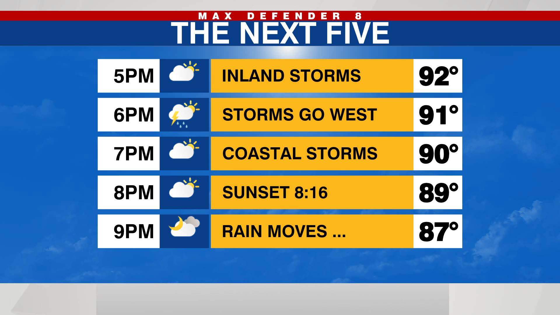
The Saharan dust moves into the Gulf and towards Tampa Bay over the weekend. Normally this would mean stunning, colorful sunsets. Unfortunately, our chances for rain are widespread this weekend, which will most likely dampen the possibility of a vibrant sunset.
Any glimpses of the sunset that aren’t blocked by rain and clouds will most likely look more colorful, thanks to the dust from across the ocean that is over a mile high in our sky.
Stay weather aware on the go with the free Max Defender 8 Weather app. You can also sign up to get daily forecast newsletters and weather alert emails sent to your inbox.


