Winds and temps increase for Friday before stormy weather arrives this weekend and next week
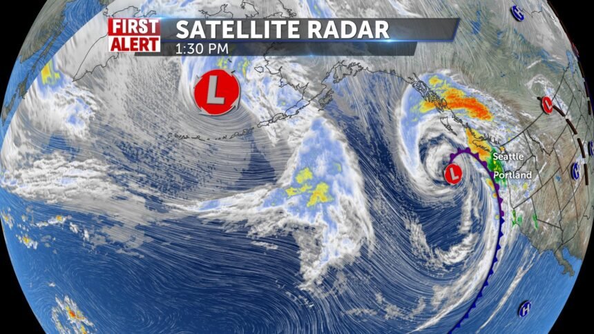
A weak ridge of high pressure is overhead for tonight and Friday, but this ridge will be quickly replaced with stormy weather. A parade of storms will slam into the western US over this weekend and next week.
OVERNIGHT: Lows into the mid 30's, clear skies with winds around 5-10 MPH.
FRIDAY: Mostly sunny with highs into the upper 60's in the Snake River Plain. Winds 10-15 MPH, with gusts above 20 MPH in the afternoon.
SATURDAY: A chance of rain with mostly cloudy skies, chance of high elevation snow showers. Highs into the lower to mid 50's, with winds 15-30 MPH.
SUNDAY: Scattered rain and snow showers with gusty winds. Highs into the lower 50's for the Snake River Plain.
MONDAY: Rain and snow showers with highs into the mid 50's.
TUESDAY: Rain and snow with highs into the upper 40's.
