Not as Stormy Today
A rare mid-summer front continues to slowly sink south through the state and was the focal point for numerous showers and storms yesterday across the area, where thousands of lightning strikes occurred and rainfall was measure in inches in many locations. For today, the front inches farther south, and showers and storms become more scattered in nature. The sky will be partly sunny with a high in the mid to upper 80s, with some scattered showers and storms this afternoon. The better coverage of these will be across southern sections of the sate. Wednesday through Friday, we expect partly sunny days with just few widely isolated storms, mainly during the afternoon and evening hours. Highs these days will be generally in the upper 80s to low 90s, which are a few degrees below average for early August in Alabama.
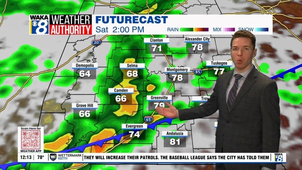
THE ALABAMA WEEKEND: Pretty routine weather for the weekend as both Saturday and Sunday will feature a mix of sun and clouds. There will be a few pop-up, scattered afternoon showers or storms while highs will be in the lower 90s.
NEXT WEEK: The quiet pattern continues. Partly sunny days with a few “scattered, mostly afternoon and evening showers and thunderstorms” possible; highs will be in the low 90s.

IN THE TROPICS: A surface trough of low pressure over the far eastern Atlantic Ocean centered a few hundred miles south of the Cabo Verde Islands
continues to produce a large region of disorganized showers and thunderstorms. Some slow development of this system is possible during the next day or two while it moves northward or northwestward before the system moves over cooler waters by Thursday. Formation chance through 5 days…low…20 percent.
Bless someone today!!!
Ryan