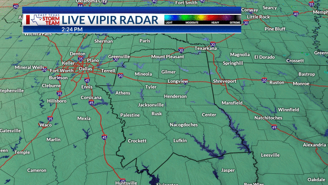
Storms will increase in coverage across East Texas for the overnight hours. The primary storm threat will be heavy rain, but wind gusts and hail cannot be ruled out either. Look for storms and cloud cover to provide a big relief in the temperatures for Monday with highs in the 80s.
OVERNIGHT: Mostly cloudy with storms likely, a 40% chance. Lows: middle 70s. Wind: North 5 mph.
MONDAY: Cold front moves in with storms and rain expected through the afternoon, chances to 60%. Highs: lower to middle 80s, near 90 south. Wind: North 5-10 mph.
TUESDAY: Partly cloudy and warm. A 20% chance of rain in southern areas. Low: 71. High: 89. Wind: East 10 mph.
WEDNESDAY: Sunshine and clouds. Milder morning. Low: 71. High: 91. Wind: East 5-10 mph.
THURSDAY: Partly cloudy sky. Turning warmer. Low: 72. High: 93. Wind: SE 5-10 mph.
FRIDAY: More sunshine and a few clouds. Breezy and hotter. Low: 73. High: 95. Wind: SW 10 mph.
SATURDAY: More sunshine and very humid. Low: 75. High: 97. Wind: SW 10 mph.
SUNDAY: Partly cloudy and hot. A 20% chance of rain in the afternoon. Low: 77. High: 98. Wind: SW 10 mph.

Download the East Texas Storm Team app. You can view Futurecast, and set up custom alerts for multiple locations. You will be notified of lightning and storm alerts, rotating storm threats, and custom messages from your East Texas Storm Team. Download for Apple and Android devices. Also, have a secondary way to receive weather information, like a NOAA Weather Radio.


